Data Center Construction in Guthrie, Oklahoma
Which Guthrie parcels can hold a data center depends first on a boundary line, and we start our work by finding it. Wikipedia describes the Guthrie Historic District, a National Historic Landmark, as the largest urban historic district in Oklahoma, with 2,169 buildings across about 1,400 acres. Review procedures inside and next to that district can add design controls that a plain industrial lot does not carry. Outside it, Logan County offers the open ground, highway access and north-metro position that enterprise and edge owners want.
We build secure, resilient halls on that kind of ground: a tilt-wall or metal shell, a generator yard, a cooling plant and a carefully engineered service entrance. Guthrie sits about 32 miles north of Oklahoma City, close enough for metro carriers and a metro labor pool, and far enough that land is not priced like Oklahoma City infill. The Guthrie-Edmond airport and Interstate 35 add access for owners and equipment.
Below we describe how we qualify a parcel, what we ask of the city and the county, and what the soil and the weather mean for the building.
Zoning, historic review and the code edition
Before design starts we ask the city planning staff three questions. Is the parcel inside, adjacent to or outside the historic district boundary? What zoning governs a use with generators, fuel storage and a large electrical service? And which building code edition applies on your submission date? The state commission adopted newer International Codes, and cities adopt and enforce their own editions, so the local answer controls.
Our permit matrix lists each approval, the agency that grants it, the usual review time and the construction activity it blocks. Typical entries include the building permit, the fire marshal's review of fuel storage, the stormwater permit, the utility service application and the air permit for generators. We put dates on every line so the owner can see the critical path, and we update the matrix at every weekly meeting so a late comment never becomes a surprise.
Red Bed Plains ground and creek drainage
Wikipedia places Logan County in the Red Bed Plains physiographic area, drained by the Cimarron River and the smaller Cottonwood and Ephraim Creeks. We read that as an instruction to investigate rather than as a finding about any particular lot. Soil type, bedrock depth and groundwater vary across the county, so we order borings for the specific pad and design foundations and slabs from the report.
Creek drainage matters for siting. We check floodplain mapping near the Cimarron River and its tributaries, set critical rooms above the surrounding grade, and design detention so that stormwater leaves the site slowly and cleanly. A data center produces large roof and paved areas, which increase runoff. Our stormwater and detention design treats that runoff as a primary design item.
Shells that fit north-metro demand
The strongest fit in Guthrie is an edge data center serving the north metro, or an enterprise data center for a company that wants a secondary site outside Oklahoma City. A carrier-neutral building near I-35 can shorten the path to north-metro subscribers, and a recovery site here can be reached by road in under an hour.
Developers sometimes build a powered shell on speculation. That can work if the utility has committed capacity and the shell is designed for flexible tenant fit-out. We discuss the economics under real estate developers and site owners and help developers decide how much infrastructure to build before a tenant signs.
I-35 logistics and small-airport access
Wikipedia lists Logan County as served by Interstate 35, US Highway 77 and State Highways 33, 51, 74, 74C and 105. For a builder, that means heavy deliveries can arrive on a limited-access highway and finish on state routes. We survey the final miles for bridge limits and turning radii and schedule oversize moves for off-peak hours.
The city-owned Guthrie-Edmond Regional Airport has one concrete runway, 16/34, measuring 5,001 by 75 feet, about 2 nautical miles south of Guthrie and 7 miles north of Edmond. A regional airport this close helps with commissioning visits and specialist travel. It also means we check airspace and lighting questions for tall cranes. On the ground, we plan a gravel construction entrance, wheel cleaning and a laydown area so that county roads stay clean and the neighbors see an orderly job.
Services that usually come with the shell
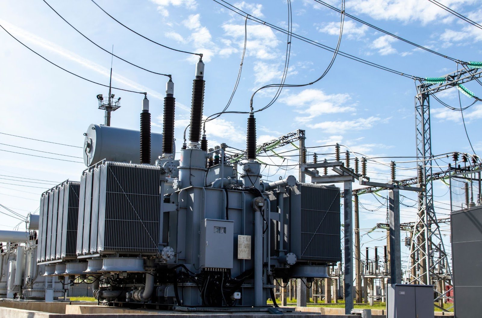
Fiber is the first extension most owners need. Our work on fiber and telecom trenching covers diverse routes, entrance facilities and conduit sizing. Next is power: we coordinate service with the electric provider, build duct banks and set transformer pads, as described under electrical duct banks and service entrances.
Neighboring markets give owners a range. Edmond is closer to the metro and costs more per acre, while the Stroud and Chandler turnpike corridor is farther out. We price each on the same basis so owners can weigh distance, land and utility readiness.
Small industrial parks and early commitments
The Guthrie News Page reported on March 31, 2016 that a nail manufacturer would occupy 35,000 square feet in the Stewart Industries Industrial Complex with over 40 personnel, and that an aerospace company would start with 20 personnel, about 60 jobs in all. That is an older announcement and we cite it only to show the type of light industrial activity found in the city. It does not establish current vacancy or capacity.
What it suggests is that Guthrie has industrial buildings and trades that serve small manufacturers. For a data center, that translates into contractors who can pour tilt-wall panels and weld steel, and into utility staff who have supplied small industrial loads. Any large load still needs a study, and we make no assumption about capacity until the provider confirms it. We ask for a written capacity statement, the study timeline and the owner cost share, and we keep those documents with the feasibility file so a later phase starts from known facts.
Looking at land in Logan County?
Send us the parcel and the planned load. We will check the boundary, the soil and the utility path and tell you what the site can support.
Common Questions
Can a data center be built inside the historic district?
That would be unusual. The district covers about 1,400 acres and 2,169 buildings, according to Wikipedia, and review procedures could add design controls. Most owners choose parcels outside the boundary. We confirm the boundary with the city before any design work.
What do you check in the soil?
We order borings for the pad itself, look at bedrock depth, groundwater and soil bearing, and design slabs and foundations from the report. Regional descriptions like Red Bed Plains are only a starting point, so we do not assume anything about a specific lot.
Is Guthrie close enough to Oklahoma City for a recovery site?
It is about 32 miles north of Oklahoma City, which is near enough for staff to reach by road and far enough to give geographic separation. Latency depends on the carrier route, so we ask carriers for the actual path.
Which highway helps most with equipment deliveries?
Interstate 35 gives limited-access travel, and state routes handle the last miles. We survey the final approach, check bridge limits and plan oversize moves for quieter hours.
Should a developer build a shell before a tenant is signed?
Only if utility capacity is committed and the building is flexible. We can phase the work so the structure and site utilities go in first, with interior fit-out waiting for tenant requirements.
Plan Your Oklahoma Data Center Project
Tell us about the site, the power and cooling plan and the schedule, and we will set up a review of scope, schedule, permits and inspections.
Request a Project Review