Data Center Site Selection and Construction in Miami, Oklahoma
Land decides a Miami data center before any building drawing does, and the first question on every parcel here is whether it stays dry. The town sits on the Neosho River, and floods have reached it more than twenty-four times in the years after 1990. A buyer looking at Ottawa County for a mission-critical building should treat floodplain mapping, finished floor elevation and access-road height as entitlement questions, not construction details.
The same corridor offers real advantages. Interstate 44 and U.S. Route 69 pass through Miami, and U.S. Route 59 lies about two miles away, so a parcel with good frontage can receive heavy equipment without crossing town. We evaluate candidate sites against flood exposure, utility proximity, zoning and the practical route a transformer or chiller has to travel, and we put that comparison in front of the owner before any option money is spent.
Our recommendation for most buyers here is a modest, well-protected building rather than a large campus, with fiber and power secured before the land is bought, and with a written record of what each agency has said about the parcel. Connectivity is the second constraint, and we touch on it below.
Who buys data center space in Ottawa County
Communication Solutions announced a Miami call center on February 26, 2021, with more than 250 jobs expected over five years and an investment above $500,000. Contact centers run on telephony, customer records and continuity plans, and they are typical of the local operators who need reliable computing near their staff. Educators and public bodies also depend on records they cannot lose.
For operators of that size, a compact facility close to the workforce is more useful than distant capacity. Our enterprise and financial institutions page describes how those owners usually specify redundancy, access control and audit trails, and the real estate developers and site owners page covers owners preparing a parcel for a future tenant.
Some owners are not ready to build and only want a parcel that a tenant could use later. We can document the utility, floodplain and zoning facts for such a parcel, so a future buyer meets fewer unknowns and the seller has a clearer story.
Services that start with the parcel
For land-driven projects we begin with mass grading and site development, because a raised, drained pad is often the answer to river-valley flooding. Stormwater and detention design keeps runoff from the pad from becoming a neighbor's problem.
Fiber follows. Fiber and telecom trenching brings carrier routes from the nearest handhole to the building, usually by two separate paths so that one dig cannot cut both. The cost and permit time of those routes are part of the site decision, and a route that crosses private land or a creek can take longer to approve than the building itself.
Safety on flood-prone ground
River-valley sites carry their own work hazards. Wet ground can destabilize an excavation, and a rain event upstream can raise a creek faster than the weather at the site suggests. We watch forecasts and river gauges, shore trenches, keep fuel and chemicals above the high-water line and write a plan for moving equipment if water rises.
On the owner's side, a building that sits in or near a floodplain needs a plan for operations during a flood event, including how staff reach the site and how fuel is delivered. We include that review in the owner's turnover package, along with the elevations of critical equipment and the location of shutoffs.
Reaching Miami from the surrounding region
The town is in the northeast corner of the state, and a project here draws trades and deliveries from the larger markets to the south. Owners comparing it with Claremore or Bartlesville can ask us for a side-by-side view of land cost, utility capacity and flood exposure.
The paved 5,020-foot runway at Miami Regional Airport is useful for a visiting owner or for time-critical parts. Northeastern Oklahoma A&M College, a two-year community college in town, adds a local source of trained technicians for operations roles, which owners can weigh against the effort of recruiting from farther away.
Entitlement, zoning and permit sequence
The order of approvals can add or save months. Zoning comes first: a data center is usually an industrial or commercial use, and a parcel without the right designation needs a request and a public hearing. Floodplain development permits follow if any part of the site is mapped. The building department then reviews structural, electrical, mechanical and fire plans, and the utility reviews service and metering.
Our permitting and utility interconnection service builds that sequence into the project calendar and prepares the application packages. We ask the city and county early what they require so that no review surprises the owner.
How we weigh a Miami site
We rank parcels on four things in order: power, flood exposure, fiber and access. Power is first because the electric provider decides how much capacity a parcel can have and when. Flood exposure comes second because it affects the cost of the pad and the insurability of the building. Fiber and road access complete the picture.
With those answers we can say whether a parcel supports a small enterprise hall, a colocation building or only a future option. If it does not, we say so, and we suggest alternatives within the county. The owner then decides with a clear record of the tradeoffs, supported by preconstruction and estimating numbers.
Neighbors of the site matter too. A generator yard that runs for tests makes noise, and we review setbacks and screening with the city. Owners who also look at Tahlequah can compare the same questions there.
Weighing a parcel near the Neosho River?
Send us the address or the acreage and the load you expect. We will return a land and entitlement review covering flood exposure, utilities, fiber and zoning.
Common Questions
Can a data center be built in a floodplain near Miami?
Sometimes, but we prefer to avoid it. A parcel outside the mapped floodplain is simpler to permit and insure. Where the best parcel is partly mapped, a raised pad, elevated equipment and a protected access road can address the risk, subject to the floodplain permit.
What approvals does a data center need in Ottawa County?
Expect zoning confirmation, a floodplain review where relevant, building permits for structure and systems and utility service agreements. The local building department reviews the permit set. We contact the city and county before design to learn their sequence.
How important is fiber for a Miami site?
It is the second gate after power. We identify carriers that pass the parcel, ask about route diversity and price the lateral. A site with one route and no second option may suit a smaller edge use but not a colocation building.
Does the interstate help construction?
Interstate 44 and U.S. Route 69 give heavy equipment a main route toward the town, and Route 59 is close. We still check local bridges and turns for oversized loads.
Should we buy land before the utility study?
We advise against it. A conditional contract with time for the utility, floodplain and zoning answers protects the buyer. We prepare the study checklist and the questions for each agency.
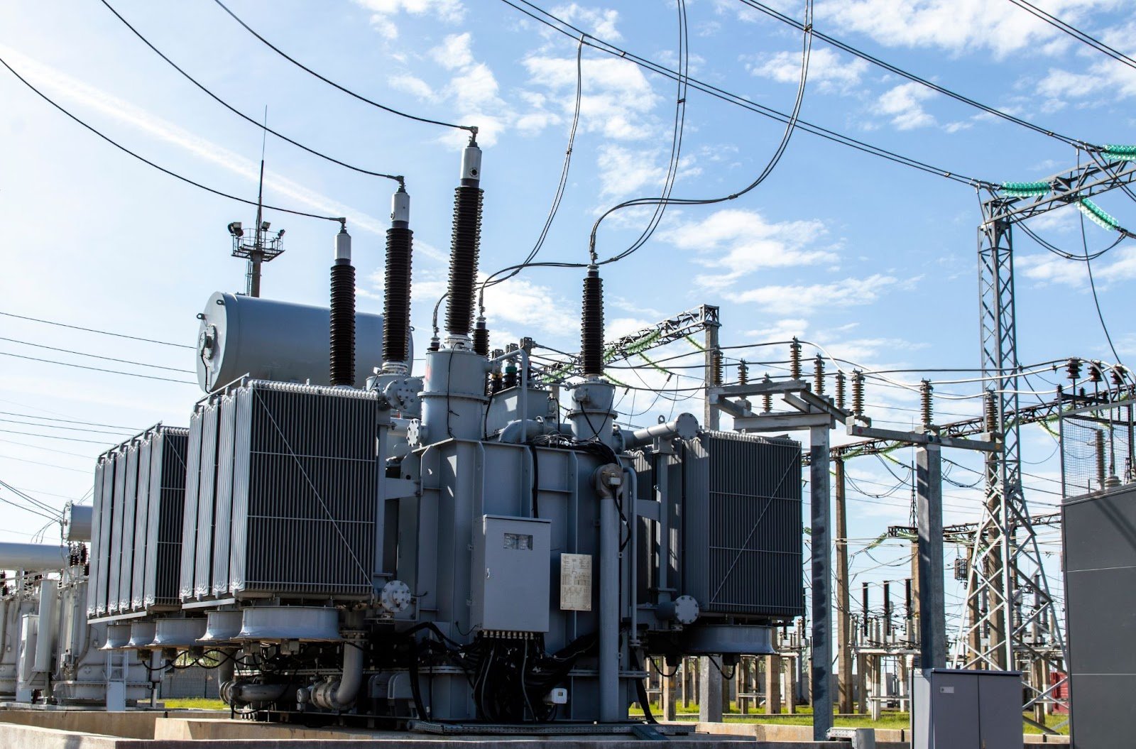
Plan Your Oklahoma Data Center Project
Tell us about the site, the power and cooling plan and the schedule, and we will set up a review of scope, schedule, permits and inspections.
Request a Project Review